|
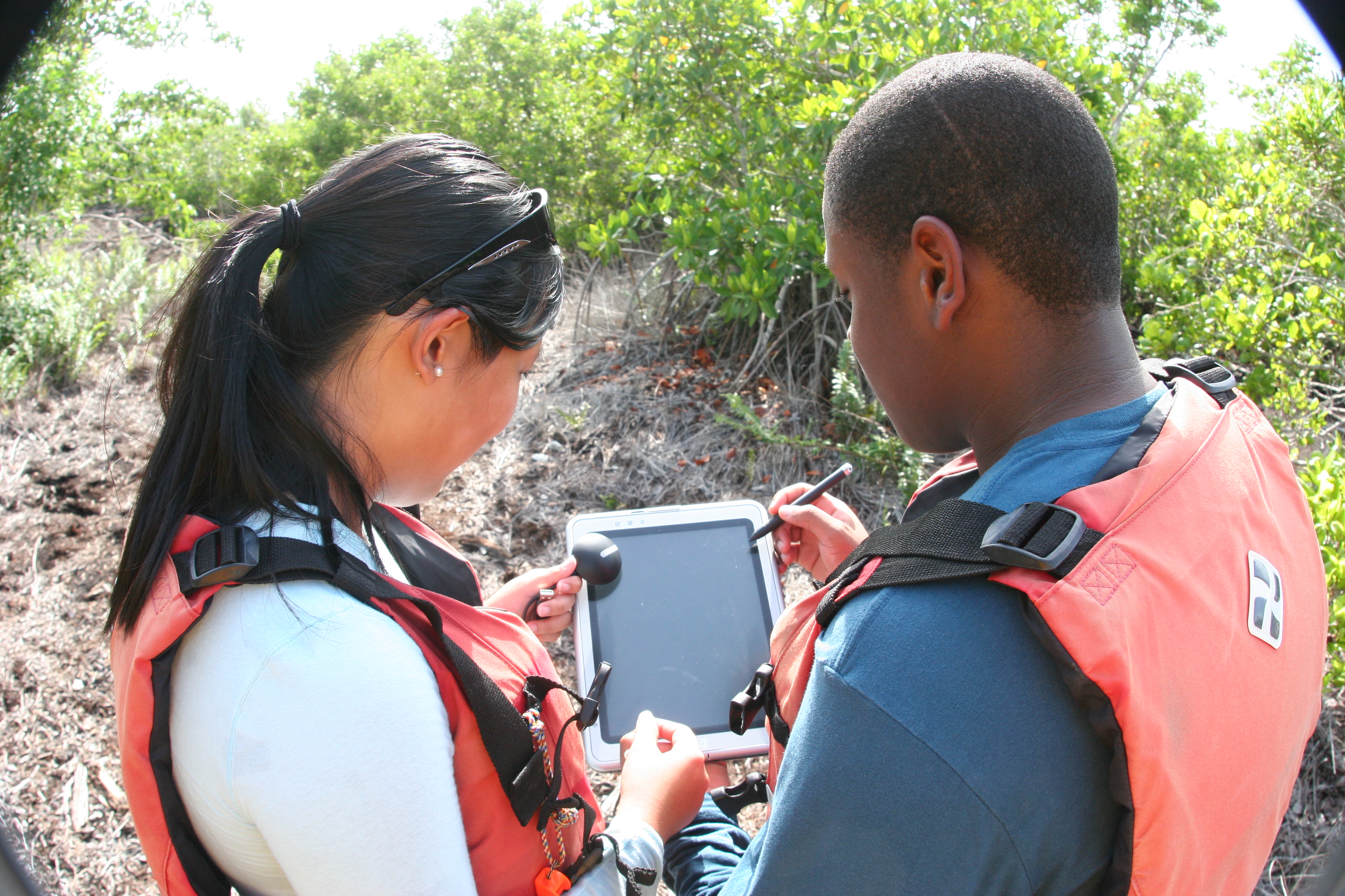
The Geographical Information System (GIS) Program for
students is a dual enrollment course that is offered through our local commnunity college. The professor from Broward Community
College comes to our campus twice a week to teach the GIS courses. Students are able to earn 13 college credits if they complete
the 2 year program. Students will develop a working knowledge of the theory aspects of GIS including data collection, preprocessing,
data management and data anaylsis as well as an introduction to the application of these systems. The upper level courses
introduce basic concepts and fundamentals of remote sensing, image processing, and the global positioning system.
|
 |
|